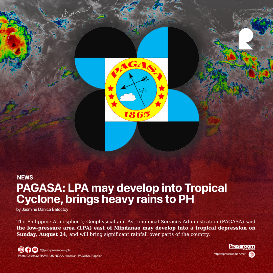
The Philippine Atmospheric, Geophysical and Astronomical Services Administration (PAGASA) said the low-pressure area (LPA) east of Mindanao may develop into a tropical depression on Sunday, August 24, and will bring significant rainfall over parts of the country.
As of 4 a.m., the LPA was spotted 445 kilometers east of Hinatuan, Surigao del Sur.
PAGASA weather specialist Obet Badrina said the weather system has a high chance of intensifying into a tropical cyclone.
If it develops into a tropical depression, it will be named “Jacinto.”
The LPA was forecasted to move west-northwestward towards Visayas and Mindanao, bringing moderate to heavy rains as early as Sunday, particularly over Eastern Visayas, Central Visayas, Caraga, Northern Mindanao, and Davao Region.
“Whether or not it becomes a tropical cyclone, we expect this weather system to bring significant rainfall," Badrina said in Filipino.
Meanwhile, the rest of the country is expected to experience generally fair weather, with partly cloudy skies and isolated rain showers or thunderstorms possible in the afternoon or evening.
By Monday, Aug. 25, LPA is expected to bring moderate to heavy rainfall to various parts of Visayas and Mindanao.
According to Badrina, the hoisting of tropical cyclone wind signals is possible.
From Tuesday to Wednesday, Aug. 26 to 27, the LPA, or tropical cyclone, is expected to continue moving across the Visayas and parts of Central and Southern Luzon and may bring moderate to heavy rains in those areas, including Metro Manila.
By Thursday, Aug. 28, the enhanced southwest monsoon, or “habagat,” may affect the western section of Luzon and bring scattered moderate to occasionally heavy rainfall.
Badrina advised the public to remain alert for possible flash floods and landslides, particularly in areas prone to these hazards.
Meanwhile, Typhoon Kajiki (formerly “Isang”), located outside the Philippine Area of Responsibility, is no longer expected to have a direct effect on any part of the country as it moves farther away.


