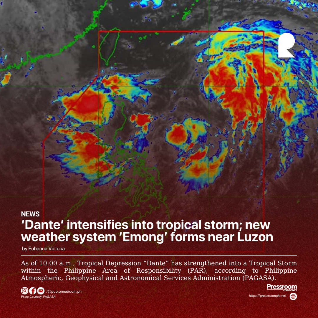
As of 10:00 a.m., Tropical Depression “Dante” has strengthened into a Tropical Storm within the Philippine Area of Responsibility (PAR), according to Philippine Atmospheric, Geophysical and Astronomical Services Administration (PAGASA).
Tropical Storm Dante was last spotted 880 kilometers east of Extreme Northern Luzon, packing maximum sustained winds of 65 kph and gusts of up to 80 kph, the weather bureau reported.
Meanwhile, a low-pressure area near the northern tip of Luzon has developed into Tropical Depression “Emong.”
As of 8:00 a.m., it was located 105 kilometers northwest of Northern Luzon, with maximum sustained winds of 45 kph and gusts reaching 55 kph.
PAGASA said Dante is expected to move northwestward over the northern Philippine Sea and exit PAR by late Thursday or early Friday.
Although Dante is not expected to make landfall and no tropical cyclone wind signals will be raised, it will enhance the southwest monsoon or “habagat,” bringing significant rainfall over Luzon and Western Visayas through Friday.
Torrential rains are likely in the provinces of Pangasinan, Zambales, Bataan, and Occidental Mindoro on Wednesday and Thursday.
PAGASA is also monitoring another low-pressure area located approximately 2,340 kilometers east of Eastern Visayas.