𝘃𝗶𝗮 𝗥𝗲𝗯𝗲𝗹𝘆𝗻 𝗕𝗲𝘆𝗼𝗻𝗴, 𝗣𝗿𝗲𝘀𝘀𝗿𝗼𝗼𝗺 𝗣𝗛
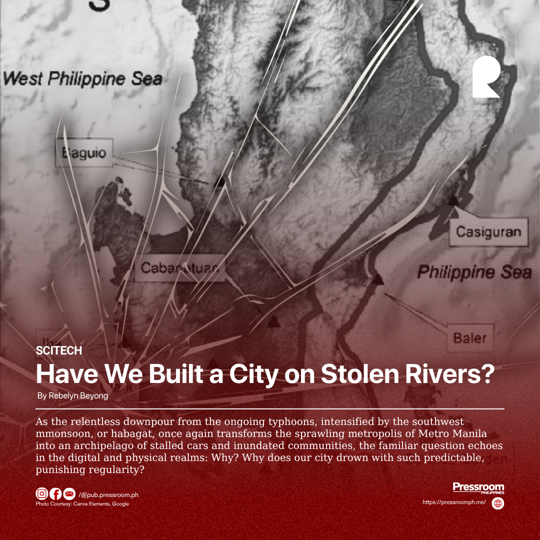
As the relentless downpour from the ongoing typhoons, intensified by the southwest mmonsoon, or habagat, once again transforms the sprawling metropolis of Metro Manila into an archipelago of stalled cars and inundated communities, the familiar question echoes in the digital and physical realms: Why? Why does our city drown with such predictable, punishing regularity?
We often point our fingers at the usual suspects: clogged drainage systems, indiscriminate garbage disposal, and the sheer volume of rain that overwhelms our infrastructure. While these are significant contributing factors, they are merely symptoms of a much deeper, more fundamental error in our urban design. The most incisive diagnosis I have ever encountered comes from Dr. Mahar Lagmay, the Philippines’ foremost geologist and head of the University of the Philippines’ Resilience Institute. He stated, with sobering clarity, the root of our problem: “It was always a path for water, but we paved over it with a road.”
This single sentence uncovers the original sin of Metro Manila’s development. We are not just living in a flood-prone area; we are living on the flood itself.
Long before the first concrete slab was laid, nature had its own master plan for this region. Metro Manila is a natural catch basin, a vast floodplain cupped by the Sierra Madre mountains to the east and draining into Manila Bay to the west. A complex and intricate network of rivers, streams, and estuaries—the Pasig River being the main artery—functioned as the region’s natural vascular system, channeling rainwater from the highlands gracefully out to the sea.
These were not ditches or canals; they were living waterways, floodplains, and marshes that would naturally swell during the rainy season to accommodate excess water. They were nature’s flood control. But as the city expanded in a frenetic, often unplanned sprawl, we viewed these vital waterways not as assets, but as obstacles. We saw them as real estate.
And so, we erased them. Creeks and streams (esteros) that once meandered through areas like Sampaloc in Manila or parts of Quezon City were narrowed, covered, and suffocated. We built roads, houses, and commercial centers directly on top of these historical water paths. Today, when the skies open up, the water simply attempts to reclaim its ancestral right-of-way. It doesn’t see asphalt or concrete; it only knows its ancient, gravity-defined path to the bay. The flooding we experience is the ghost of these murdered rivers rising to haunt us.
Our war against water is a battle fought on a sinking front. The problem of building on natural drainage lines is dangerously compounded by land subsidence. Decades of excessive and unregulated groundwater extraction from deep wells to serve the city’s growing population and industries have caused the very ground beneath our feet to sink.
Parts of Metro Manila, particularly in the Camanava (Caloocan, Malabon, Navotas, Valenzuela) area, are sinking at an alarming rate, in some places by several centimeters per year. As the land subsides, it falls closer to sea level, making it even more difficult for rainwater to drain. This creates a terrifying feedback loop: as the ground sinks, flooding worsens and lasts longer. During high tides, seawater intrusion becomes a more significant threat, pushing river water back inland and exacerbating the flooding. We are, quite literally, digging our own watery grave.
This recurring catastrophe is more than just a seasonal inconvenience; it is a crippling blow to our economy and our well-being. A study by the Japan International Cooperation Agency (JICA) famously estimated that traffic congestion, much of which is caused or worsened by flooding, costs the Philippine economy a staggering P2.4 billion per day in lost productivity and wasted fuel.
Think about that figure. Every day we fail to address the root causes of our flooding woes, we are hemorrhaging billions. This is money that could be invested in sustainable infrastructure, healthcare, education, and genuine, nature-based flood resilience. The cost of inaction, of continuing to apply temporary “band-aid” solutions like localized dredging and pumping stations, is far greater than the cost of a fundamental redesign. These hard engineering solutions, while necessary for emergencies, are ultimately fighting a losing battle against a problem we created by ignoring the landscape’s natural logic.
We cannot unscramble an egg, and we cannot entirely demolish the city to resurrect every last buried stream. But we can, and we must, change our philosophy. We must move away from the arrogant mindset of “conquering” nature and embrace the wisdom of working with it.
This means investing in “green infrastructure.” Imagine wider, cleaner, and rehabilitated riversides that double as public parks and recreation areas, but are designed to serve as floodplains during heavy rain. Picture roads and parking lots made of permeable pavement that allows rainwater to seep through and recharge the groundwater, rather than just sheeting off into an overwhelmed drainage system. Envision a moratorium on construction in critically low-lying areas and a long-term plan to potentially relocate vulnerable communities to safer ground, treating the reclaimed land as a natural buffer zone.
The solution begins with accepting the truth Dr. Lagmay laid bare. Our streets are not just wet; they are misplaced. The water is not the trespasser; we are. Until our urban planning, our engineering, and our collective mindset acknowledge and respect the fundamental, unchangeable laws of water and gravity, we will be condemned to repeat this cycle, counting our losses in billions of pesos and immeasurable human distress every time the habagat rolls in.