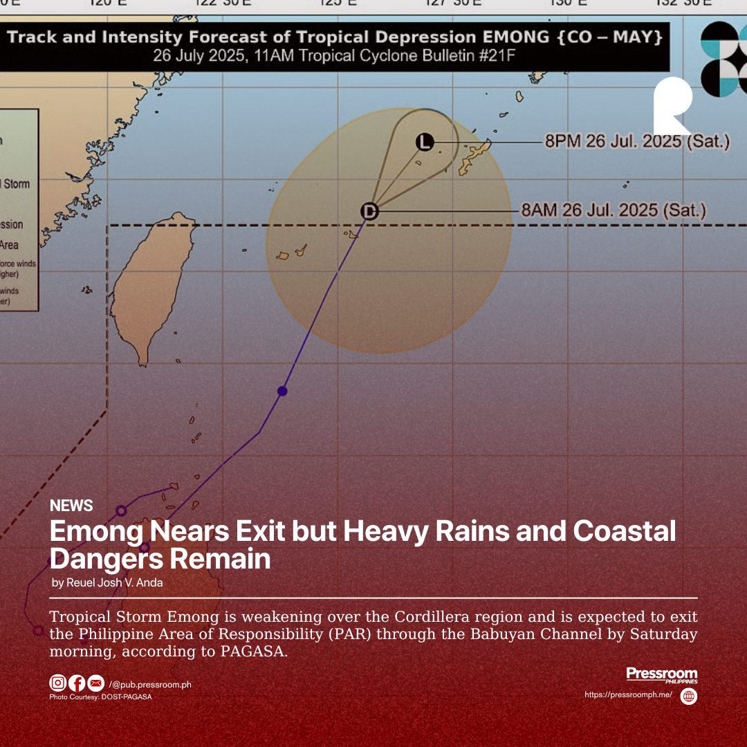
Tropical Storm Emong is weakening over the Cordillera region and is expected to exit the Philippine Area of Responsibility (PAR) through the Babuyan Channel by Saturday morning, according to PAGASA.
After making landfall in Ilocos Sur early Friday, Emong’s winds dropped from 95 kph to around 75 kph as it moved through mountainous terrain.
Despite its weakening, Tropical Cyclone Wind Signals remain raised in parts of Ilocos Norte, Apayao, and mainland Cagayan, with gusty winds and light to moderate rains still expected.
Emong keeps accelerating Habagat, the southwest monsoon that heavily rains much of Luzon and parts of the Visayas.
PAGASA warns of potential flooding and landslides, especially in low-lying and mountainous areas like the Ilocos Region, Benguet, and Occidental Mindoro.
Local governments are on high alert and getting ready for potential evacuations, as some areas could receive more than 200 mm of rain in a single day.
Not even the coast is safe. Because of the lingering effects of Emong, sea travel is becoming dangerous due to strong waves and rough seas, and maritime agencies are advising small boats to stay ashore.
Fisherfolk and residents near the shore are being urged to stay vigilant despite the storm’s weakening.
Even though Emong is on its way out, its effects, especially during the monsoon, will still be felt in the next few days.
Officials are telling people to keep an eye on warnings and take safety measures because rain and other dangers could continue even after the storm leaves the country.